Vantage Spatial started from a simple observation: infrastructure teams already collect a lot of visual data, but too much of it dies as screenshots, folders, and inspection notes.
I worked on an early platform for turning those captures into mapped evidence: issues detected in context, tied back to location, and presented in a way that could support an engineering decision instead of another meeting.
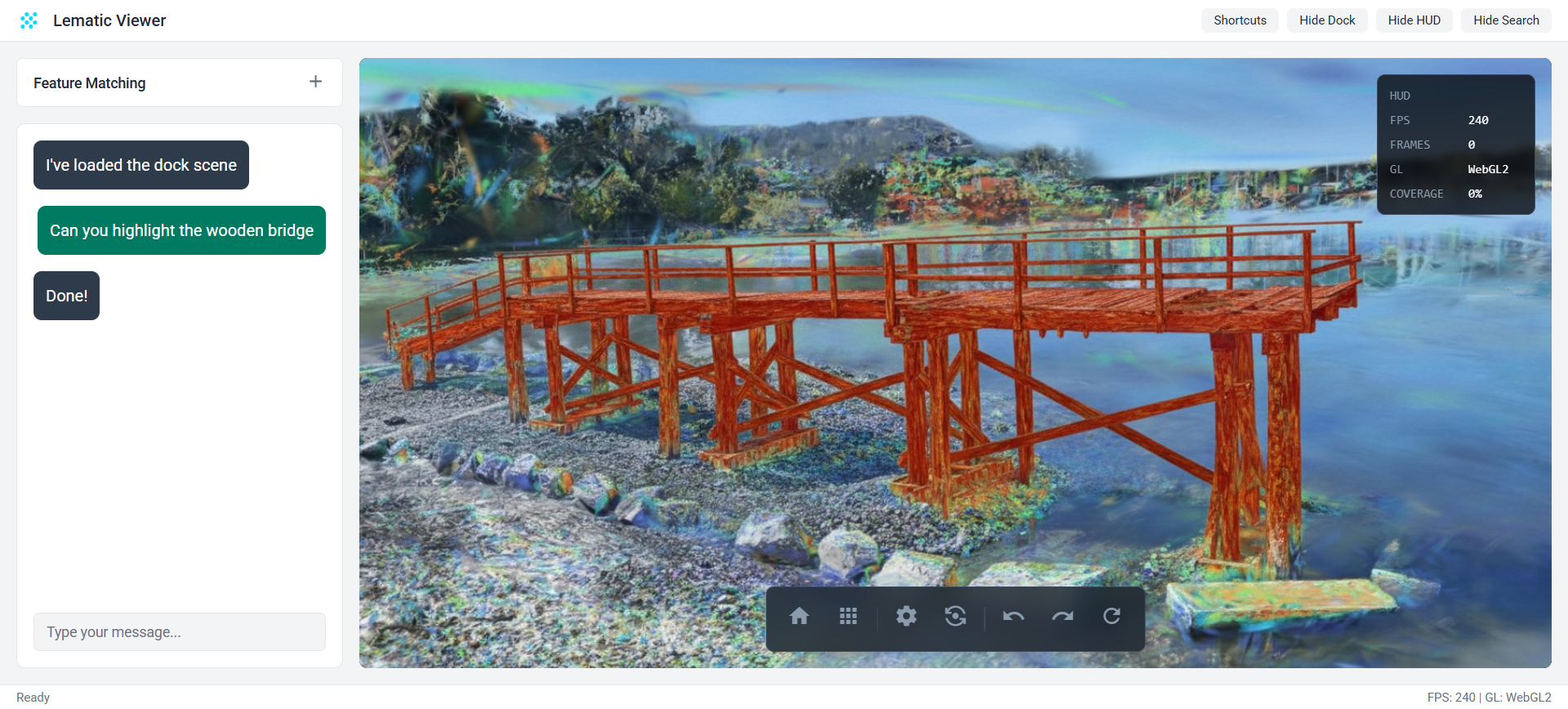
Inspection.
The first job was not to make a pretty 3D viewer. It was to make visual data useful.
I built around the questions field teams already ask: what changed, where is it, how confident are we, and what evidence should someone review before sending a crew back on site?
That meant combining computer vision, spatial indexing, and interface work so images could become inspection records instead of loose files.
Evidence.
The valuable output was not "AI found a defect." The valuable output was a defensible trail: the source capture, the mapped location, the surrounding asset context, and enough visual proof for an engineer or operator to decide what to do next.
I focused on keeping the system legible. If a signal could not be traced back to where it came from, it did not belong in the decision loop.
Customers.
The early users were construction, municipal infrastructure, and industrial teams. Different language, same core pain: they had visual records of physical assets, but the work of finding, verifying, and communicating issues was still manual.
The platform gave those teams a way to move from "someone should look through these captures" to "here are the places worth reviewing, with evidence attached."
Progress.
Vantage is currently in an early product phase.
- Built a working proof of concept for capture review and semantic overlays.
- Validated the core inspection workflow against complex physical sites.
- Ran pilot conversations with infrastructure and construction partners.
- Demonstrated how automated inspection could replace parts of a manual review process.
The focus became narrowing the use case: choosing the inspection problems where better evidence would immediately save time, reduce ambiguity, or prevent rework.
Direction.
The long-term direction is still the part I care about: making physical environments as inspectable as digital systems.
Capture is getting cheaper. The hard part is interpretation, trust, and decision support. Vantage was my attempt to build at that layer.